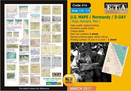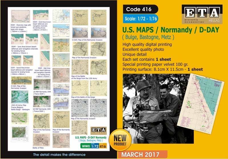
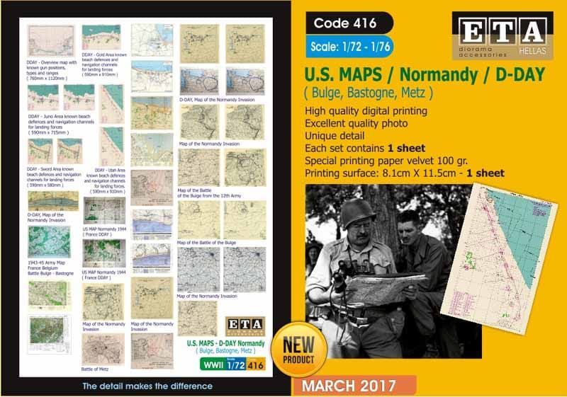
1:72/1:76 US Maps D-Day Normandy is a printed paper accessory for dioramas: reduced period maps of the landings in Normandy for models in 1:72 and 1:76 scale.
Responsibility details are not available.
It is not a kit, but a printed paper accessory for dioramas and vignettes. It holds reduced reproductions of period military maps connected with the invasion in Normandy, digitally printed on quality paper. The format is adapted to the smaller scales of 1:72 and 1:76.
Maps were an indispensable part of planning as well as conducting the fighting during the landings in June 1944. Even in a small scale a map spread out can give a scene the authentic period character of a command post or of a unit at rest.
It is a paper accessory for dioramas, not a model. Glue, paints and the base model are not included in the package.
Naši poradci a znalci sortimentu jsou připraveni odpovídat na Vaše dotazy (Po–Pá, 8–18 hod).
Zeptejte se na co potřebujete, odpovíme co nejdříve.
Texts from customers in the advice section reflect solely the opinions and views of the customers. MNF trade s.r.o. does not approve or verify customer texts in advance.
There are no questions here yet. Be the first to ask!